Master Drone GPS Setup for Optimal Performance
Drones have revolutionized various industries, from aerial photography to agricultural monitoring. A key component of these unmanned aerial vehicles (UAVs) is their Global Positioning System (GPS). GPS enables drones to navigate autonomously, maintain stable flight, and return to their launch point safely. Mastering the GPS setup is essential for optimizing drone performance, ensuring accuracy, safety, and efficiency in operations.
Understanding the Basics of Drone GPS
GPS is a satellite-based navigation system that provides location and time information in all weather conditions. For drones, GPS plays a crucial role in:
1. **Navigation:** Enabling precise flight paths and waypoint missions.
2. **Stability:** Assisting in maintaining a hover and smooth flight.
3. **Return-to-Home (RTH):** Automatically guiding the drone back to its takeoff point.
4. **Geofencing:** Establishing virtual boundaries for safe operation.
Components of a Drone GPS System
A typical drone GPS system comprises several components:
– **Receiver:** The device in the drone that receives signals from GPS satellites.
– **Antennas:** Devices that transmit and receive GPS signals.
– **Software:** The onboard algorithms and firmware that interpret GPS data.
– **Ground Control Station (GCS):** Software on a computer or mobile device that communicates with the drone.
Understanding these components helps drone operators troubleshoot issues and enhance setup efficiency.
Steps to Master Drone GPS Setup
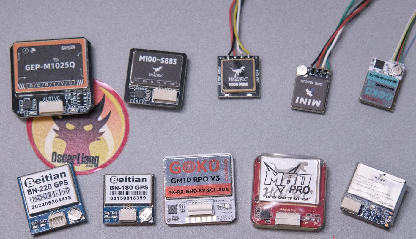
1. Selecting the Right GPS Module
Choosing the appropriate GPS module is the first step in ensuring optimal performance. Consider the following factors:
– **Accuracy:** Look for modules with high positional accuracy, typically measured in meters.
– **Update Rate:** Higher update rates (5 Hz or more) provide more precise real-time data.
– **Compatibility:** Ensure the module is compatible with your drone’s flight controller.
– **Reliability:** Opt for a module known for consistent performance in various environments.
2. Proper Installation of the GPS Module
Correct installation is crucial for optimal GPS performance:
– **Placement:** Position the GPS module away from potential sources of interference, such as motors and metal parts. The module should have a clear view of the sky.
– **Orientation:** Ensure the module is mounted flat and level to avoid skewed data.
– **Securing Connections:** Use secure connectors and ensure all connections are tight to prevent data loss during flight.
3. Calibrating the GPS System
Calibrating the GPS system is essential for accurate data:
– **Compass Calibration:** Perform a compass calibration in an open area, free from magnetic interference, to ensure the drone knows its orientation.
– **IMU Calibration:** Calibrate the Inertial Measurement Unit (IMU) to enhance the drone’s ability to maintain balance and orientation.
– **GPS Signal Strength:** Verify signal strength and ensure at least 7-8 satellites are connected before takeoff.
4. Configuring GPS Settings in the Flight Controller
Once the hardware is set up, configure the GPS settings in the drone’s flight controller software:
– **Coordinate System:** Set the correct coordinate system (e.g., WGS84) for accurate mapping.
– **Home Location:** Ensure the home point is correctly set to facilitate safe RTH functionality.
– **Failsafe Settings:** Configure failsafe settings to dictate drone behavior if GPS signal is lost.
5. Testing the GPS Setup
Before conducting any serious flight operations, thoroughly test the GPS setup:
– **Hover Test:** Conduct a hover test to ensure the drone maintains position without drifting.
– **RTH Test:** Initiate a Return-to-Home command to verify the drone returns accurately.
– **Waypoint Missions:** Test a simple waypoint mission to ensure precise navigation between points.
Optimizing GPS Performance for Varied Conditions
1. Dealing with GPS Interference
Interference can disrupt GPS signals, leading to inaccurate data. Common sources of interference include:
– **Electromagnetic Fields:** Keep the drone away from power lines and large metal structures.
– **Weather Conditions:** Cloud cover and rain can affect signal strength, so plan flights accordingly.
To mitigate interference, consider using GPS shielding materials or flying in locations with minimal obstructions.
2. Enhancing GPS Accuracy
For tasks requiring high accuracy, such as surveying or mapping, consider the following enhancements:
– **RTK GPS:** Real-Time Kinematic (RTK) GPS offers centimeter-level accuracy by using ground-based reference stations.
– **PPK GPS:** Post-Processed Kinematic (PPK) GPS processes data after the flight for precise positioning, ideal for environments with intermittent signal loss.
3. Maintaining GPS Equipment
Routine maintenance ensures consistent GPS performance:
– **Firmware Updates:** Regularly update the GPS module’s firmware to benefit from performance improvements and bug fixes.
– **Physical Inspection:** Check for physical damage or wear on the GPS module and antennas.
– **Environment Awareness:** Avoid exposing the GPS module to extreme temperatures or moisture.
Conclusion
Mastering drone GPS setup is fundamental to achieving optimal performance and safety in drone operations. By selecting the right components, ensuring proper installation, and configuring settings accurately, drone operators can enhance navigation precision, stability, and reliability. Furthermore, understanding how to optimize GPS performance for different conditions and maintaining equipment regularly will ensure that your drone operates at its best, regardless of the mission or environment.
In the ever-evolving world of UAV technology, keeping abreast of the latest advancements in GPS systems can provide a competitive edge, allowing drone operators to push the boundaries of what is possible in aerial missions.
References
– GPS and Drones: A Comprehensive Guide to Drone GPS Systems
– Understanding RTK and PPK: Enhancing Drone GPS Accuracy
– Drone Navigation and GPS Setup: Best Practices for Optimal Performance
Share this content:


Post Comment