Revolutionizing Surveying: Drone Mapping Technology Explained
Introduction
In recent years, the landscape of surveying has undergone a significant transformation, thanks to the advent of drone mapping technology. Drones, or Unmanned Aerial Vehicles (UAVs), have revolutionized the way we capture, analyze, and utilize spatial data. This innovative technology has not only enhanced the efficiency and accuracy of surveying but also opened up new possibilities across various industries. In this article, we will delve into the intricacies of drone mapping technology, exploring how it works, its benefits, applications, and the regulatory framework that governs its use.
Understanding Drone Mapping Technology
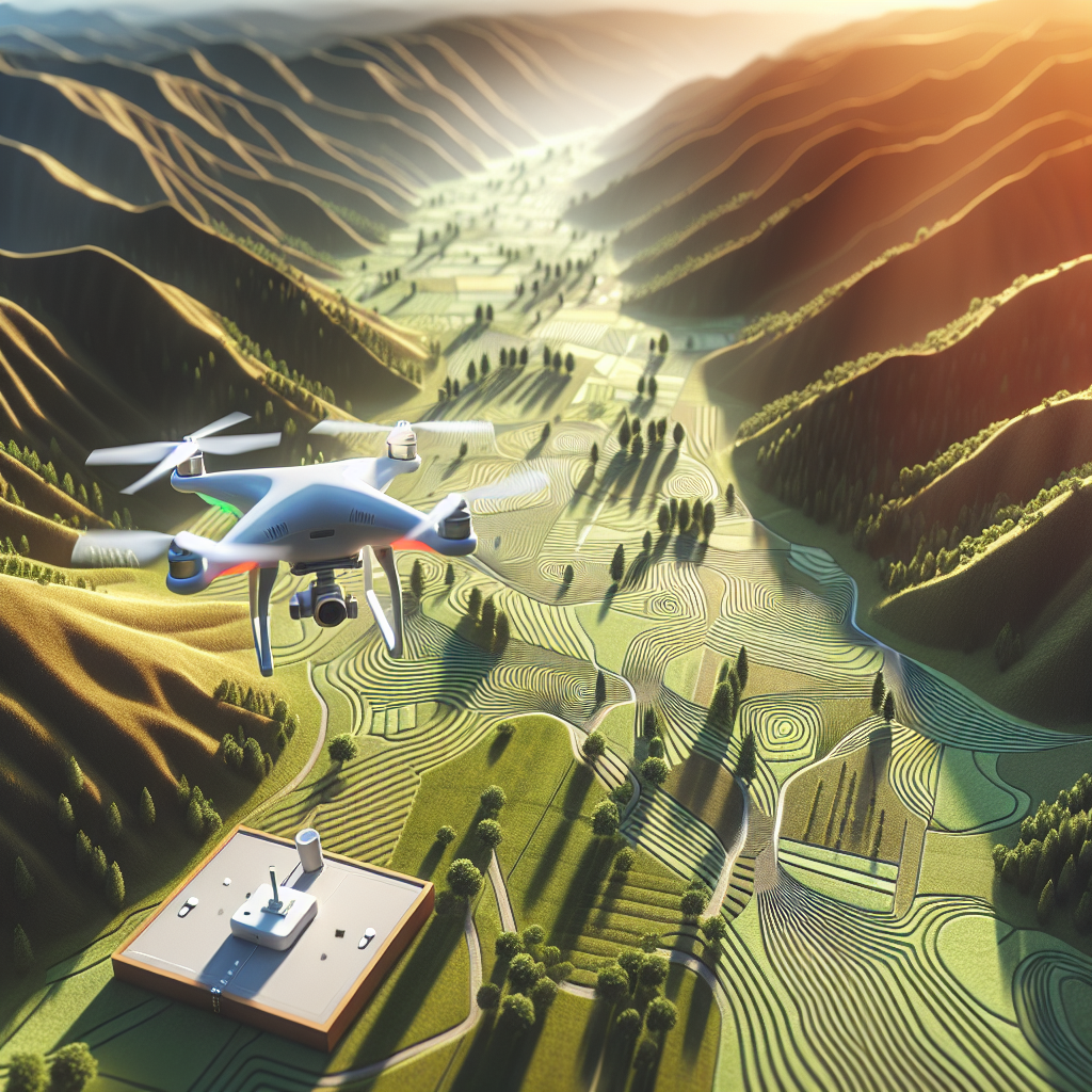
Drone mapping technology involves the use of UAVs equipped with high-resolution cameras and sensors to capture aerial images and data. These drones fly over designated areas, capturing numerous overlapping images from different angles. These images are then processed using specialized software to create detailed, georeferenced maps and models. The technology behind drone mapping can be broken down into several key components:
1. Aerial Data Collection
The first step in drone mapping is the collection of aerial data. Drones are equipped with cameras that capture high-resolution images and, in some cases, LiDAR sensors that emit laser pulses to measure distances accurately. These images and data points are collected during the drone’s flight over the target area. The ability to capture data from multiple angles and heights allows for the creation of highly detailed and accurate maps.
2. Photogrammetry
Photogrammetry is the process of converting the captured images into 2D or 3D models. This is achieved by stitching together the overlapping images to create a single, coherent map. Photogrammetry software analyzes the images to identify common points and features, allowing for the generation of accurate topographical maps and 3D models. The result is a georeferenced map that can be used for various applications.
3. LiDAR Technology
LiDAR (Light Detection and Ranging) is an advanced technology used in drone mapping to create precise 3D models. LiDAR-equipped drones emit laser pulses towards the ground and measure the time it takes for the pulses to return. This data is used to create detailed, accurate topographical maps, even in areas with dense vegetation or challenging terrain. LiDAR technology is especially useful in applications requiring high precision, such as forestry and infrastructure development.
Benefits of Drone Mapping Technology
Drone mapping technology offers numerous advantages over traditional surveying methods. These benefits have led to widespread adoption across various industries:
1. Increased Efficiency
Drones can cover large areas quickly, reducing the time required for data collection. This increased efficiency translates into cost savings and faster project completion times. Traditional surveying methods, which often require manual labor and extensive equipment, are significantly slower and more resource-intensive.
2. Enhanced Accuracy
The use of high-resolution cameras and advanced sensors allows drones to capture data with remarkable accuracy. The resulting maps and models are highly detailed and precise, minimizing errors and improving the quality of the final output. This level of accuracy is especially critical in applications such as construction and urban planning.
3. Accessibility
Drones can access remote or difficult-to-reach areas that may be challenging or dangerous for human surveyors. This capability is particularly valuable in surveying areas with rugged terrain, dense forests, or hazardous environments. By eliminating the need for human presence in such areas, drones enhance safety and reduce the risk of accidents.
4. Cost-Effectiveness
While the initial investment in drone technology may be significant, the long-term cost savings are substantial. Drones reduce the need for extensive manpower and equipment, making them a cost-effective solution for surveying projects of all sizes. Additionally, the efficiency and accuracy of drone mapping lead to fewer rework and revisions, further reducing costs.
5. Real-Time Data Analysis
Drones can provide real-time data and imagery, allowing for immediate analysis and decision-making. This capability is invaluable in industries such as agriculture, where timely information can significantly impact crop management and yield optimization. Real-time data analysis also facilitates rapid response in emergency situations, such as natural disasters or infrastructure failures.
Applications of Drone Mapping Technology
Drone mapping technology is versatile and finds applications across a wide range of industries. Some notable applications include:
1. Agriculture
In agriculture, drone mapping is used for crop monitoring, precision farming, and land management. Drones equipped with multispectral cameras can assess crop health, identify areas of stress, and optimize irrigation and fertilization. This data-driven approach enables farmers to make informed decisions, improve yield, and reduce resource wastage.
2. Construction and Infrastructure
In the construction industry, drone mapping is used for site surveys, progress monitoring, and quality control. Drones can create accurate topographical maps and 3D models of construction sites, aiding in project planning and design. They also provide a comprehensive overview of ongoing projects, allowing for efficient project management and timely identification of potential issues.
3. Environmental Conservation
Drones play a crucial role in environmental conservation efforts by providing detailed data on ecosystems, wildlife habitats, and natural resources. They are used for monitoring deforestation, tracking wildlife populations, and assessing the impact of climate change. This data is essential for developing effective conservation strategies and policies.
4. Urban Planning and Development
Urban planners utilize drone mapping technology to create accurate maps and models for city planning and development. Drones provide valuable insights into infrastructure, land use, and population distribution, aiding in the design of sustainable and efficient urban environments. The technology also facilitates the assessment of infrastructure needs and the identification of potential development areas.
5. Disaster Management
In disaster management, drones are used for rapid assessment and response. They provide real-time data on affected areas, enabling emergency responders to prioritize resources and coordinate relief efforts effectively. Drones can also access areas that are inaccessible to ground teams, providing critical information for rescue and recovery operations.
Regulatory Framework for Drone Mapping
The use of drones for mapping and surveying is subject to regulatory oversight to ensure safety, privacy, and compliance with aviation laws. Regulatory frameworks vary by country, but there are common principles and guidelines that govern drone operations:
1. Registration and Licensing
Most countries require drone operators to register their UAVs and obtain the necessary licenses or certifications. This process ensures that operators are knowledgeable about drone technology and understand the rules and regulations governing their use. Licensing requirements may vary based on the intended use of the drone, such as commercial or recreational purposes.
2. Airspace Regulations
Drone operators must adhere to airspace regulations, which dictate where and how drones can be flown. These regulations are designed to prevent conflicts with manned aircraft and ensure the safety of airspace users. Operators must be aware of restricted areas, such as airports and military installations, and obtain the necessary permissions for operations in controlled airspace.
3. Privacy and Data Protection
Privacy concerns are a significant consideration in drone operations. Operators must respect individuals’ privacy rights and ensure that data collected during drone flights is handled responsibly. This includes obtaining consent from property owners for flights over private land and implementing measures to protect sensitive data from unauthorized access or misuse.
4. Safety Guidelines
Safety is a paramount concern in drone operations. Operators must follow safety guidelines to minimize the risk of accidents and injuries. This includes conducting pre-flight checks, maintaining a safe distance from people and property, and ensuring that drones are in good working condition. Operators are also encouraged to undergo training to enhance their skills and knowledge.
Conclusion
Drone mapping technology has transformed the surveying industry, offering unparalleled efficiency, accuracy, and accessibility. Its applications span diverse sectors, from agriculture and construction to environmental conservation and disaster management. However, the responsible use of drone technology requires adherence to regulatory frameworks and a commitment to safety and privacy. As technology continues to evolve, drone mapping will undoubtedly play an increasingly vital role in shaping the future of surveying and spatial data analysis.
#ChatGPT assisted in the creation of this article.
Share this content:

Post Comment